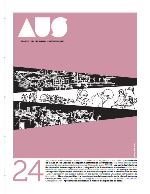
Inner Peripheries of Valparaíso: Graphic Sequence of the Layout of Vulnerable Urban Areas.
Main Article Content
Abstract
Valparaíso’s urban development resulted from an international momentum of political-economic changes that took place during the last decades of the 19th century and beginning of the 20th century. In the 19th century, the city established itself as a major trade center in South America, which led to the development of urban regulations, utilities, and local governance. During the past century, however, Valparaiso impoverished due to several events which led to the emergence of vulnerable areas; in this work, these areas are called inner peripheries (Kapstein 2010). The study monitors the city’s growth trends and develops a mapping sequence that starts in 1897 and ends in 2016, the purpose of which is to identify and locate inner peripheries, defining their morphology and impact on the city’s growth process.

